
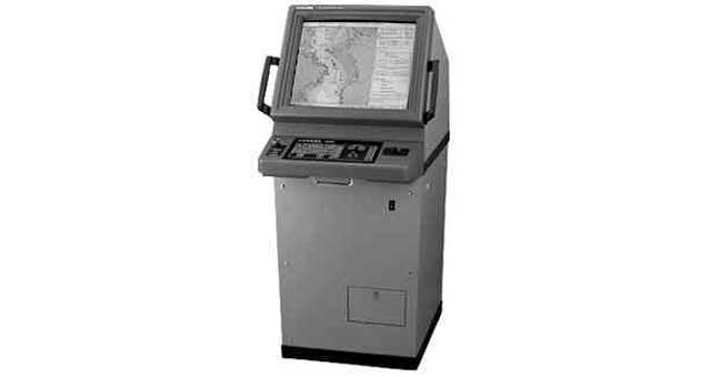
| IMPA编码 | 372831 |
| 产品单位 | SET |
| Title | ECDIS (ELECTRONIC CHART, DISPLAY & INFORMATION SYSTEM) |
| Description | Required by IMO Resolution A.817 (19), IEC 61174, and related IHO (International Hydrographic Office) standards. ECDIS is a real-time geographic information system and accepted as equivalent to paper chart for continuous monitoring of the ship’s position using several positioning systems. It should be type-tested and approved by an official authority and should be used only together with official data and regular updates. Useable charts are derived from an official ENCs (Electronic Navigation |
| IMPA版本 | Other Versions |
Product Content Content below may include AI-assisted translation.
